


Projects
Among our customers and users (2000 surveyors working all over the world) are institutions and enterprises of different sizes. Here are a selection of just a few : GUGIK, KGHM Polska Miedź S.A., PGE Polska Grupa Energetyczna S.A., Kompania Węglowa S.A., Jastrzębska Spółka Węglowa S. A., Laser Gulf, Leica Geosystems Polska, sp. z o.o.
Selected projects:
|
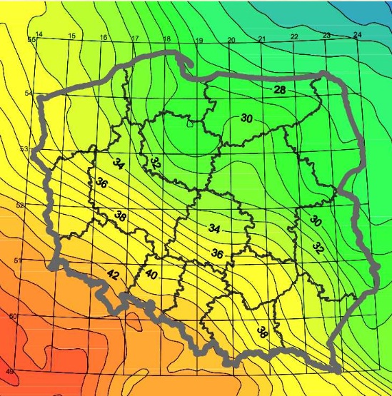
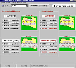
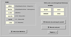
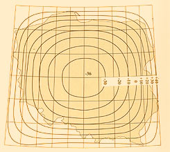
New TRANSPOL 2.06, polish quasigeoid model ,PL-geoid-2011 forHead Office of Geodesy and Cartography
New version of TRANSPOL program evolved while implementing PL-ETRF2000 and PL-EVRF2007-NH. It was also dictated by the need of specifying a single digital model of quasigeoid, now PL-geoid-2011 model. Program (one package) includes all the tasks in two-modes: the theoretical and empirical, using specially designed, interpolation grids .These two options relate in particular to old and new reference systems: PULKOVO 42, PL-ETRF89, PL-ETRF2000. In altitude transformations with quasigeoid model only empirical method shall be applied. More information about TRANSPOL 2.06 available here www.asgeupos.pl. In the Publications section at www.geonet.net.pl, quasigeoid model is discussed in detail. GEOIDPOL-2008CN represents quasigeoid model identical to PL-geoid-2011 referring to the territory of the Republic of Poland |
|||||
|
Automatic post processing software (POZGEO) in ASG-EUPOS
At the request of ASG-EUPOS developers, ALGORES-SOFT company designed fully automatic POZGEO post processing software. Works on the program have already been initiated in 2007. Currently, 2.** software version is in use. Detailed features and characteristics are described at www.asgeupos.pl as well as in the Publications section.
|
|
|
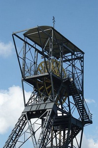
Mining survyeing software for JSW S.A.
At the request of Jastrzębska Spółka Węglowa S.A. calculations software covering a large part of specific mining industry issues, was performed. |
|
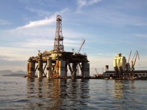
Dimensional Control software for Laser Gulf
At the request of the company performing precise measurements of oil rigs installations, special software tool with a graphical presentation in AutoCad was brought into existence.
|
|
|
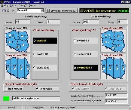
SWDE converter 2000
Transform maps program (SWDE format) for Head Office of Geodesy and Cartography. |
|
Trans65_2000PKT Developing transformation software (for few dozens of districts) which includes local reference systems distortions.
Transformation .dll libraries Our company owns .dll libraries for transformation purposes. Our algorithms have been used in many popular software in Poland.: EWMAPA, GEOINFO, GEOMAP, EWID. |
|
|
Algorithms and software for cartographic resources transformation for KGHM Polska Miedź S.A.
Development of transformation parameters, allowing for digital cartographic resources transformation to the 2000 system. Part of the contract was to provide software for map transformations for mining industry. |
|
Digital cartographic resources transformation to the 2000 system (for few dozens of districts)
Project included local parameters transformation, control network estimation and maps transformation. |
|
|
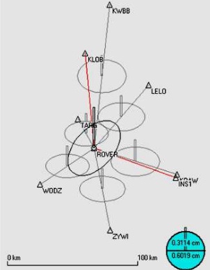
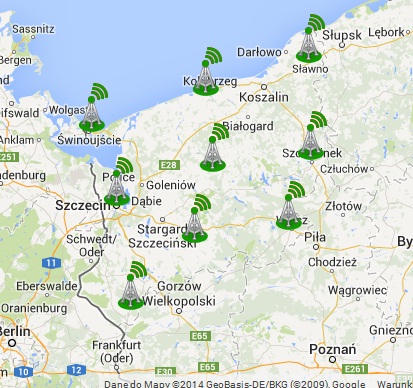
PNAS automatic GNSS post processing module
Developing automatic GNSS post processing module operating in VRSNET.PL system. Module makes use of GLONASS data. |
|
Trainings There has been several training sessions for surveyors and geodetic public administration sector already organised. Issues discussed:
|
|

|
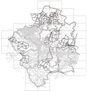
GEONET_translib
|
|
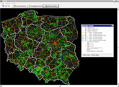
NETPOL Public net browser © 2001, GUGiK.
|
|
|
PHOTONET
Air triangulation network alignment with bundle method developed in 2002 for photogrammetic system © 2002, DEPHOS Sp. z o. o. Cracow |
|
Polish Cartographic System (PUK2000).
|
|
-
Development of coordinate transformation computer application for cartographic systems transformation in the area of Sweden. Carried out in 2001 for WPG